Thanksgiving at Columbia River Gorge, Maryhill State Park. Day 1 & 2
Covid time. No meetings with friends. No flights. 5 days long weekend. (Thursday to Monday). Some clouds and rain in the forecast for Kirkland… But not for Columbia River Gorge. It’s supposed to be 30-32F at night.
Kids age: 6 months and 3.5years.
Drive time to the destination from Seattle: approx 4 hours.
Day 1: 1 small hike (5 miles, flat)
Day 2: 2 small hikes (2.5 miles, 2.5 miles) and two viewpoints
Day 3 & 4 to follow.
Maryhill State Park
We got to the campsite around 10:30am, after taking a detour to the Canyon Road near Yakima. In the summer I would probably say “a campground with little privacy”, and I could be disappointed if I was tent-camping. It has two loops, one for RVs and one for tents, but otherwise, it’s pretty open, with little privacy. It also is between a somewhat busy road and rails. (but there are worse. Viento State Park is definitely worse). However, in the Thanksgiving setting, it was perfect. With very few people, it was easy to get “waterfront property”. Because we trailer-camped, the noise from the road and trains was not that big of a deal. And the view in the morning at the rising sun was pretty nice too! In addition, for $35/night, we had a campsite with electricity (in summer full hookups, but in winter the water is closed)
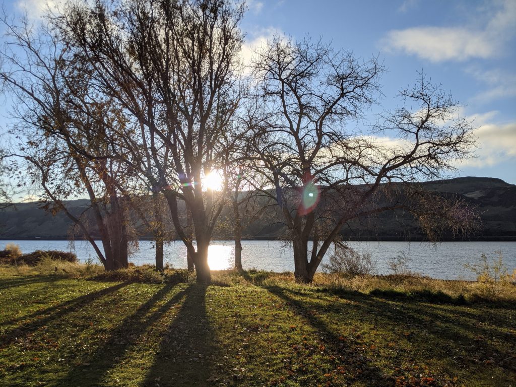
Day 1: Deschutes River State Recreation Area
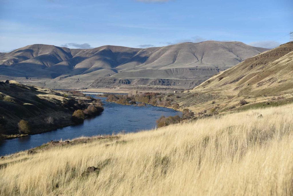
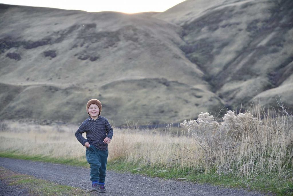
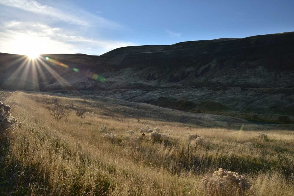
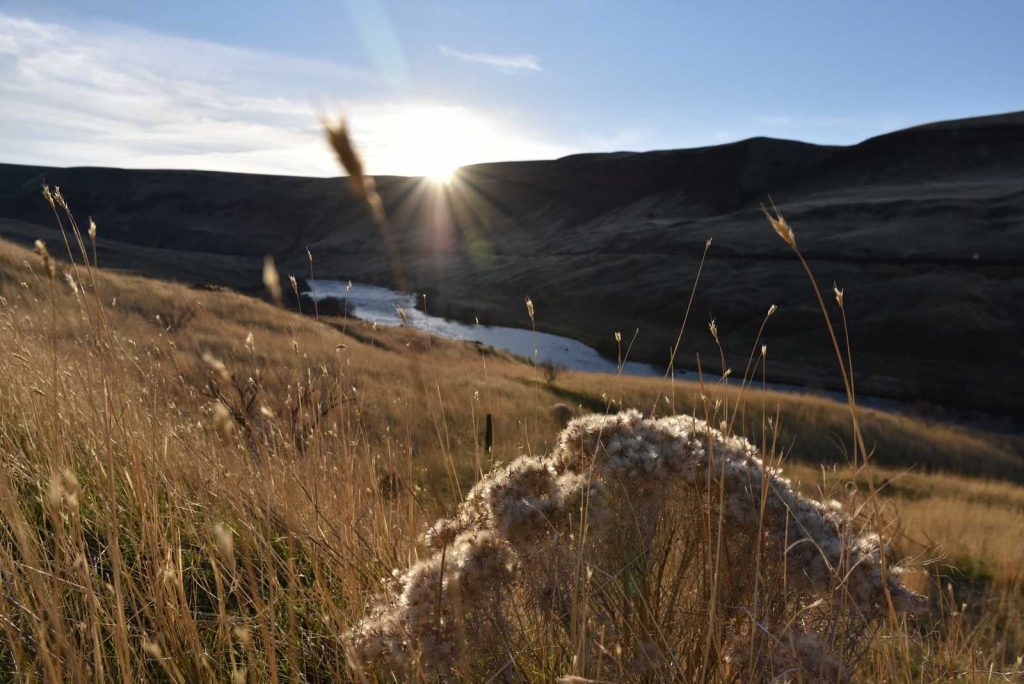
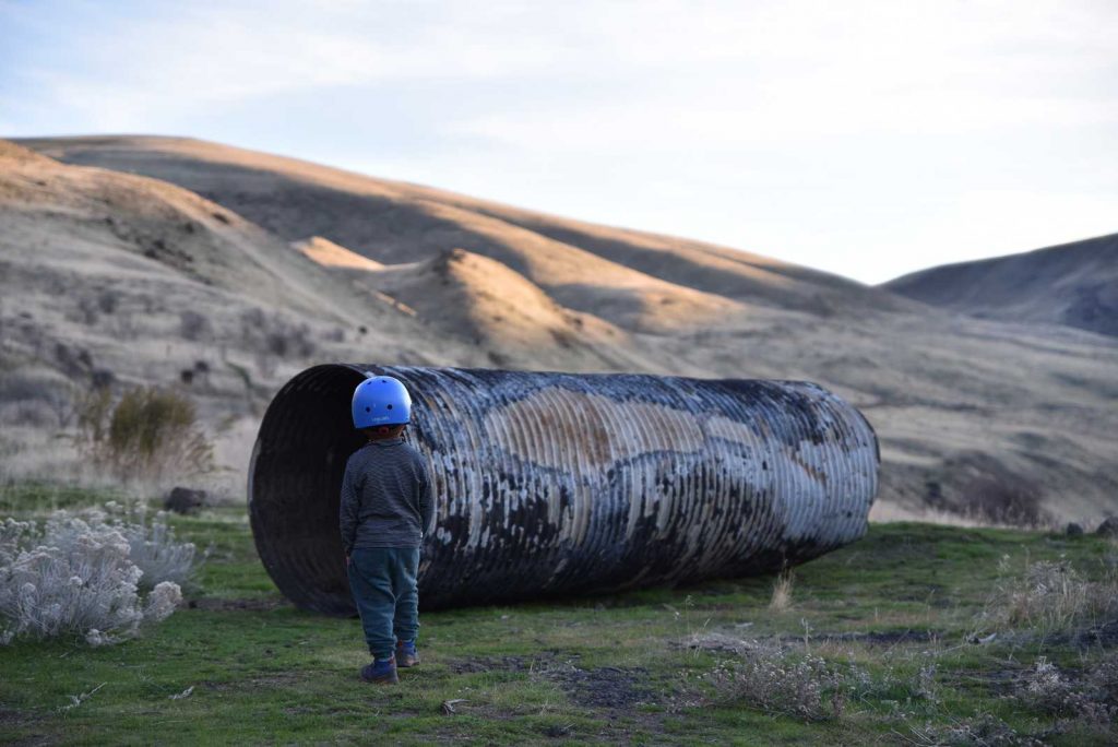
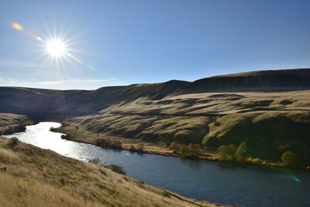
After setting up the campsite, we decided to first, visit the old locomotive in Wishram, and then go for a walk to Deschutes River State Recreation Area. The walk was a combination of biking and hiking but is stroller friendly and flat. Basically, it’s a sort of walk where you can walk as far as you want, as long as you remember that you need to get back to where you started.
It’s a pretty nice trail for a bike ride. We walked about 4.6 miles (strava) total in 2h40 minutes. We will be back with our bikes. When we finished the hike it was getting dark, so it was the end of our day.
Day 2: Some random things and a view
- Catherine Creek Park
- Panorama point
- Historic Columbia River Highway – Mosier Twin Tunnels
- Rowena Crest Viewpoint
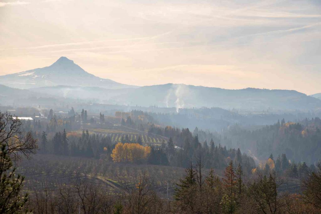
Ok. So this day we planned to hike Tracy Hill Loop Trail in the Catherine Creek Park, which is a 4 mile, 1300ft up the trail. We planned 4 hours, we started kind of late (10 am). The day was foggy, and after reaching a gem (“Catherine Creek Arch”), we decided to not go further. Instead, we headed back. On our way down, of course, it cleared up. Instead, we hiked the smaller loop and sat down on a bench to talk about life, weather, and why our son’s shoes constantly catch rocks and we have to stop every 2 minutes to get them out. The view was great though. One thing I did not mention is that we had to cross a stream on our way to the arch. Nothing too difficult, but it would have been easier if we noticed a bridge, instead of jumping from rock to rock.
Hike difficulty: easy.
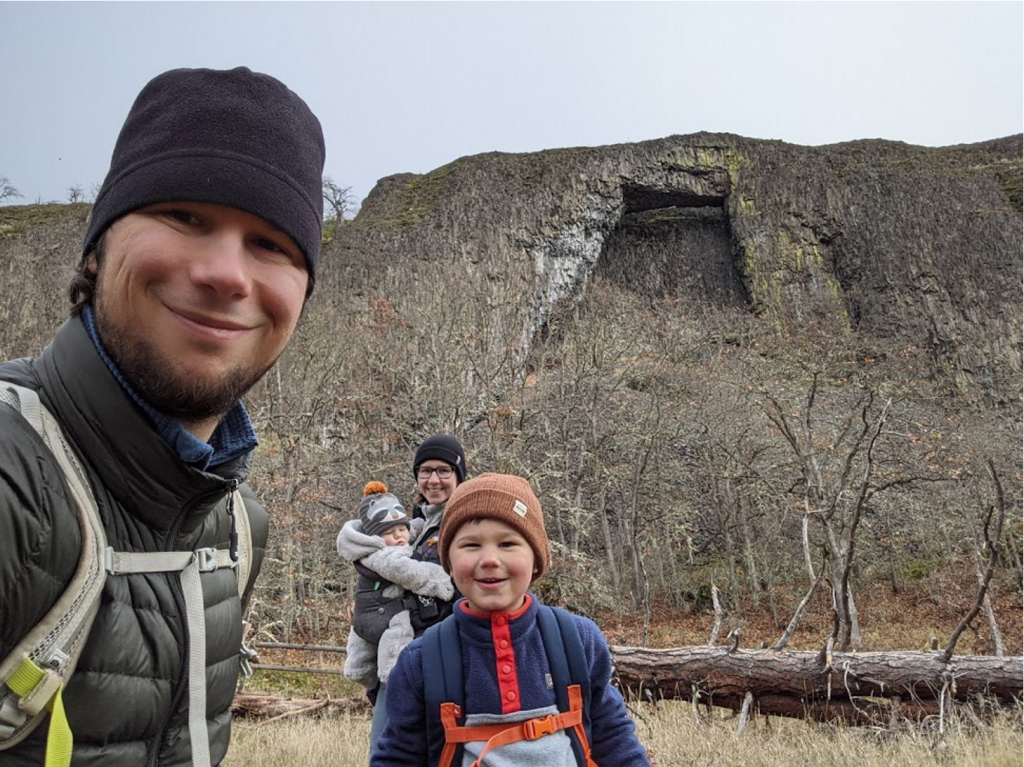
Catherine Creek Arch 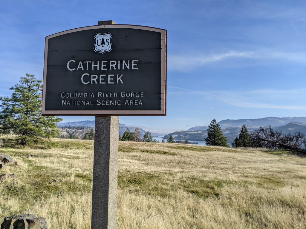
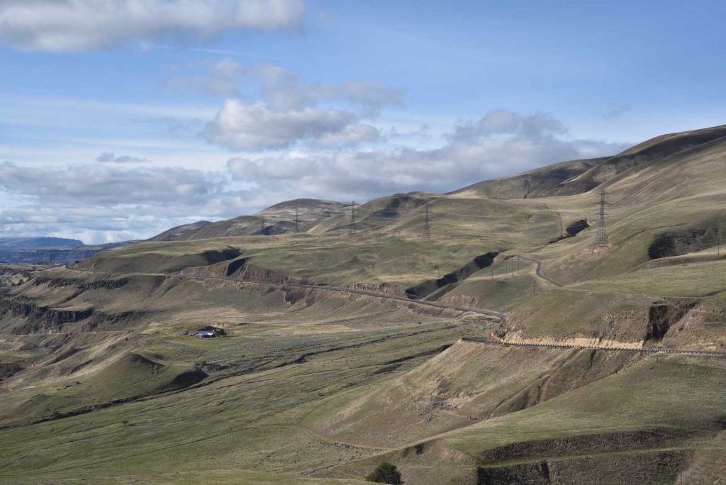
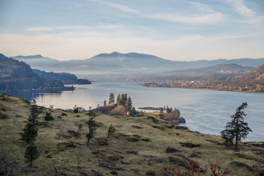
We continued to see the “the view”, called Panorama Point (map). Not much to say here – you get out of the car, see the view, you get back in your car.
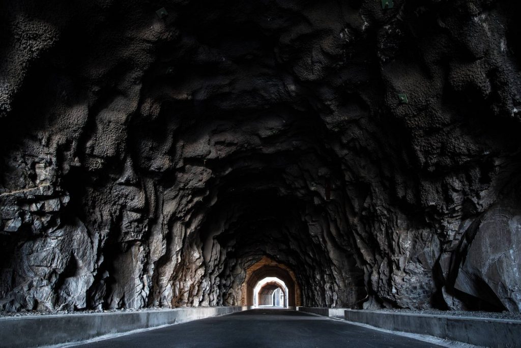
And last but not least, the highlight of the day, the Mosier Twin Tunnels.
Mosier Twin Tunnels
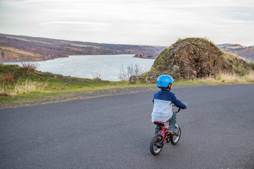
Hike: 2.5 miles. Very easy. Paved/Flat. Bike-friendly. Amazing views, beautiful sunset. Highly recommend. 5/5.
Next time we are going to bike the entire length of the Historic Columbia River Highway (at least this segment closed to traffic).
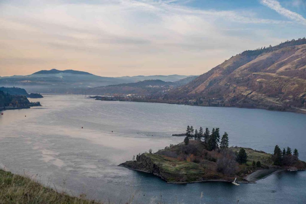
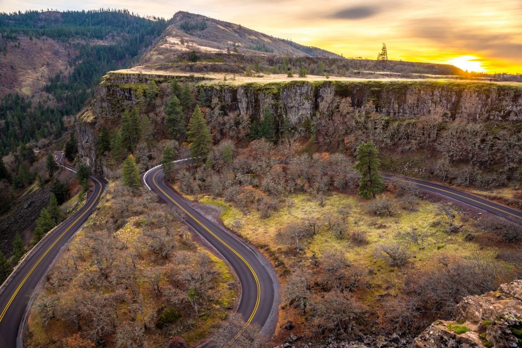
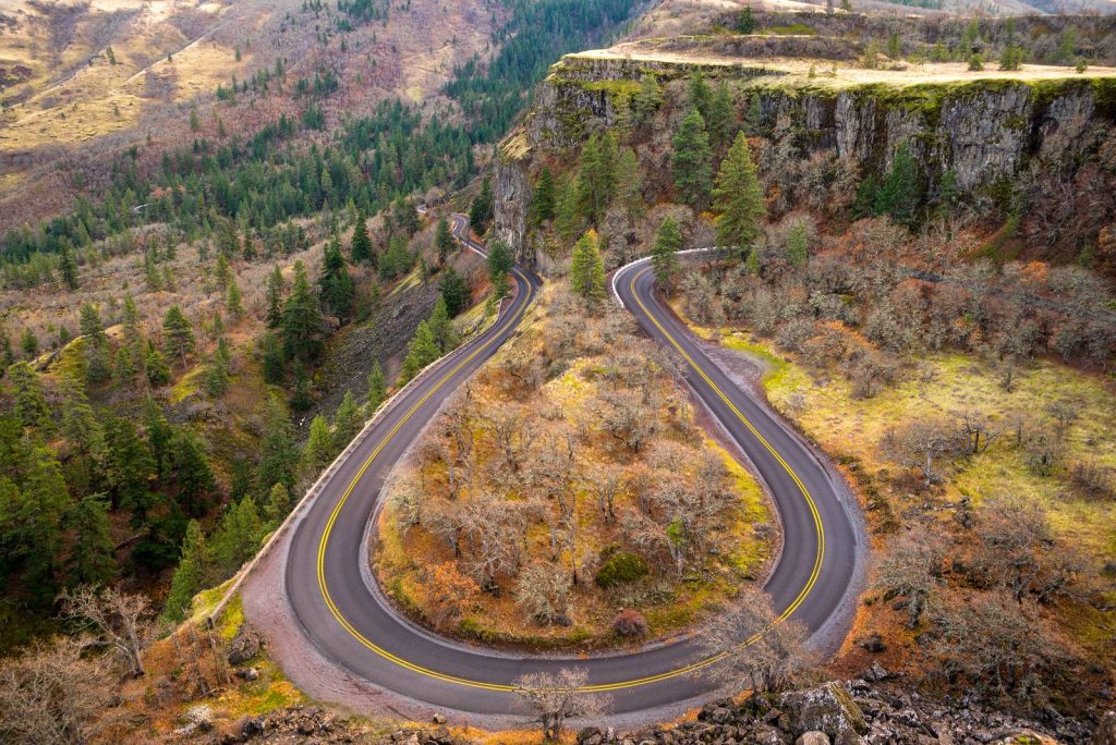
And now, really the last. Rowena Crest Viewpoint. This is the second time we are here, only now at a different time of day. The view is incredible.
We got back to the trailer, enjoyed the evening together and fell asleep.
Day 3 & 4 will follow in a separate post.
Comments
December 11, 2020




Wow, beautiful photos and great weather for Thanksgiving in the NW!